
Visitor guide
Battle of Linlithgow Bridge: history and the landscape today
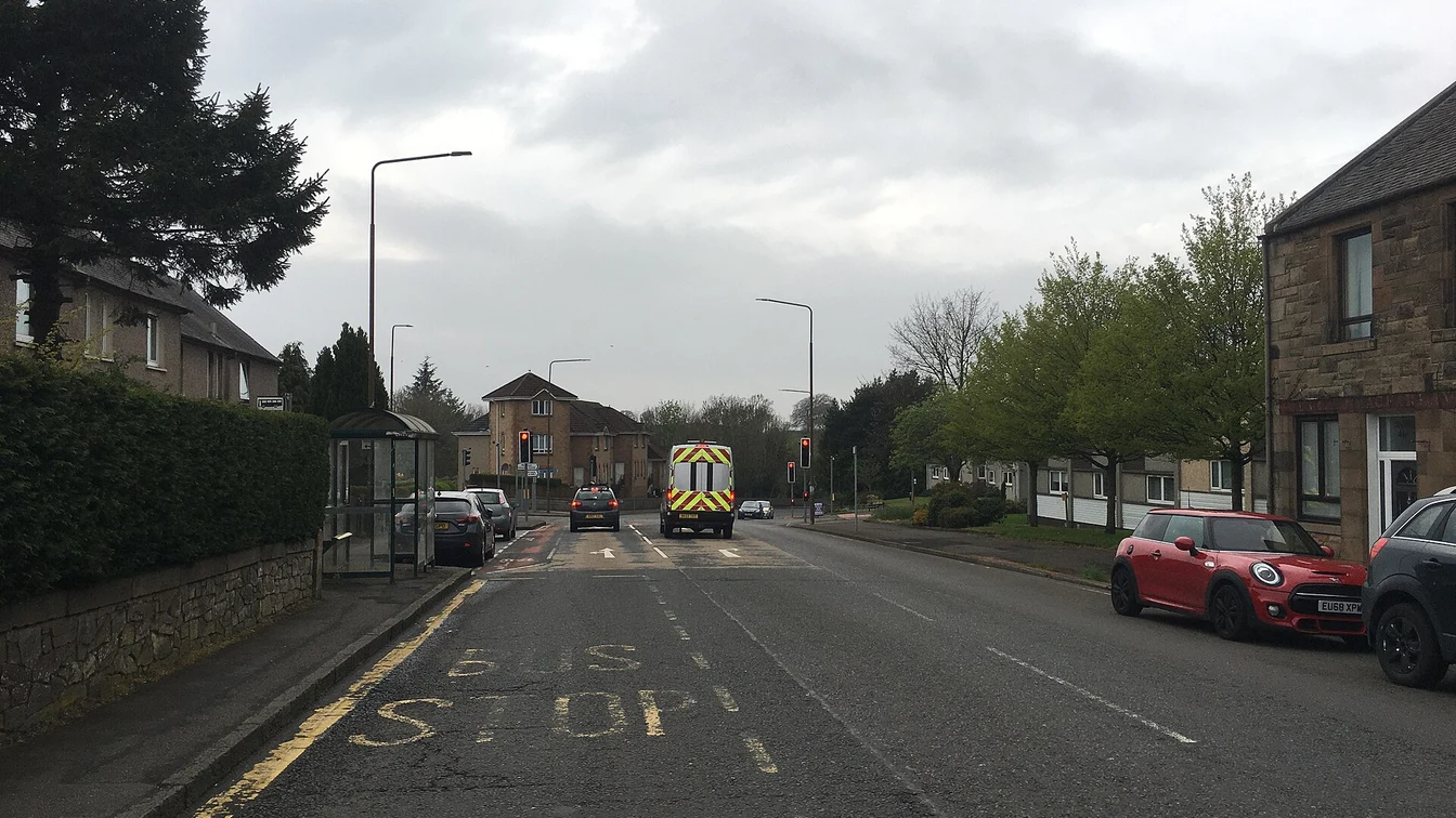

The Battle of Linlithgow Bridge took place on 4 September 1526.
Linlithgow Palace · Last updated
The short answer
The bridge and river crossing shaped the battle. An attempt to cross elsewhere led to a hard uphill attack.
Find the detail you need5
The Battle of Linlithgow Bridge took place on 4 September 1526. It was part of a struggle for control of the young king. The place is now a designated historic battlefield. It is not a castle or a furnished visitor centre. Read the river crossing and slopes to understand the fighting, then choose a current public trail for a visit.
Why the crossing mattered
The heritage record describes an attempt to free the king from powerful nobles. An army heading towards Edinburgh met troops holding the bridge. That made the crossing a barrier to the advance. The river was not just part of the backdrop.
The attack tried to avoid the guarded bridge. A force crossed at a ford downstream. The crossing slowed the troops, who then had to attack uphill. More opposing troops arrived. The attempt failed.
The source records the death of the leading earl after the rout. Control over the king continued for two more years. For the detailed account, use the linked battlefield record. This guide does not turn uncertain army sizes into a exact visitor fact.
Read the landscape today
The battlefield record describes the river valley and rising ground. It says no visible part of the 1526 bridge remains. Its position is known at the modern road towards Polmont. The modern crossing is not the old structure.
The ground has changed too. The source discusses erosion and quarry work. Some changed land later became a nature reserve. A modern view cannot show the whole place as it was in 1526.
Look for the broad shape of the valley. Think about how a river and slope can slow an army. You do not need to find every lost wall to read that relationship. It is a landscape visit rather than a tour of intact rooms.
Boundary and walking access
The historic boundary marks where events or related evidence may belong. It does not mark a public park. It can include roads, private ground and land with its own access rules. Read the present route before walking.
A ford in the battle account is not a modern crossing suggestion. Do not enter the river from the history story. Use a verified public crossing. Signs and current conditions decide what is safe on the day.
The local trail source describes a walk of around 4 kilometres. It notes mud on some paths in wet weather. That trail distance is not the size of the battle area. It is a separate route for a visitor.
Plan enough time for this outing
Use the current trail map before setting out. Check the start and route, plus return. A short description is useful background, but not a same-day path report. It cannot promise a firm surface throughout.
If the palace is your main visit, treat the battlefield as another outing. It is west of the centre, not another room beside the palace. The town guide helps keep the central places together. Do not make the final train depend on an unchecked path shortcut.
Choose the history that interests you
The Battle of Linlithgow Bridge suits a visitor who wants to understand ground and conflict. The palace suits someone who wants a surviving building. Both can tell a local story without offering the same kind of access.
Weigh things to do before choosing the day’s focus. Keep a shorter town walk as an option if the weather changes. A clear public route matters more than trying to follow every point in an old account.
FAQ
Will I see the old bridge where the battle took place?
Do not expect a surviving bridge display. The local heritage route interprets the landscape and the battle of 4 September 1526.
Keep planning your visit
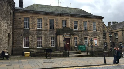
Town & sights
Linlithgow brings a palace, a loch and a historic town into one day.
Read this guide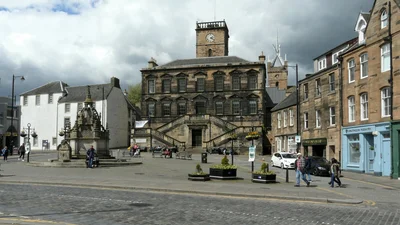
Burgh Halls
The burgh hall in Linlithgow is a civic landmark known as the Burgh Halls.
Read this guide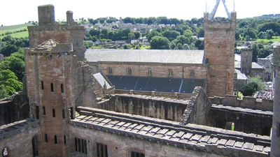
Things to do
Things to do in Linlithgow include the palace, town heritage, loch paths and canal.
Read this guide